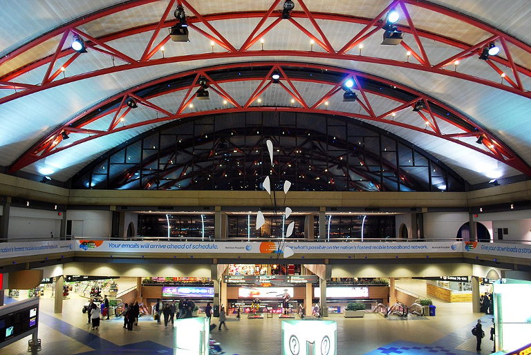
There once was a farm that became an airport. So reads the first line of our modern fairytale, our religion for the age. It is also the promotional tagline chosen by the boosters of Pittsburgh’s airport, where a pair of signs sporting the slogan hang throughout. The first sign is a bucolic photograph of the pre-airport farm; the second is what the displacement wrought. Passersby are meant to be inspired.
I’m guessing most of the 9 million-plus visitors to PIT yearly never give a thought to whether the farm-to-airport evolution was for the better. We never look very long or critically at our degraded industrial or suburban landscapes. When we’ve seen one strip mall, we’ve seen them all — they are both everywhere and nowhere.
The smug before-and-after signs hang near a large interactive map of the world provided courtesy of Carnegie Mellon University’s EarthTime tool. The storyboard in front of the EarthTime display encourages viewers to observe through satellite imagery the impact of our very existence on the land. (The irony of the technology needed to produce this visual record was not lost on this viewer.)
The satellite imagery covers the years 1984 through 2016. That the record begins with that auspicious year must certainly mean something for a more skilled writer than I, or perhaps it’s just a cruel joke by the geographer. To interact, users simply punch in a locale and the image zooms in and displays how that landscape appeared in 1984. The screen then scrolls through the snapshots over the next three decades.
The woman standing next to me watched my search and said, “Impressive.”
I replied, “Depressing.”
“Not at all,” she said. “Look at what we can accomplish.”
“Exactly,” I answered.
…………………………………………………………………..
Reading this weekend: Sword of Kings (Cornwell), the master of manly historical fiction. Where one can stand with Uhtred in the shield wall from the comfort of the reading chair.


